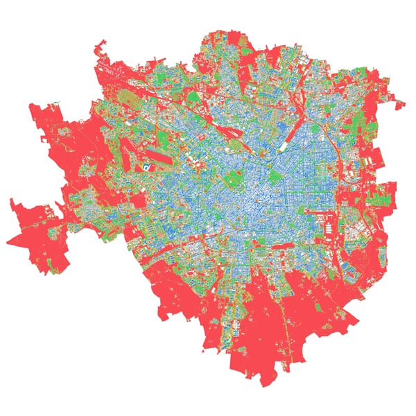
Recognising the diversity of urban characteristics, street design, possible routes and user types, the research focuses on assessing the level of walkability in the city of Milan (Italy) according to ...
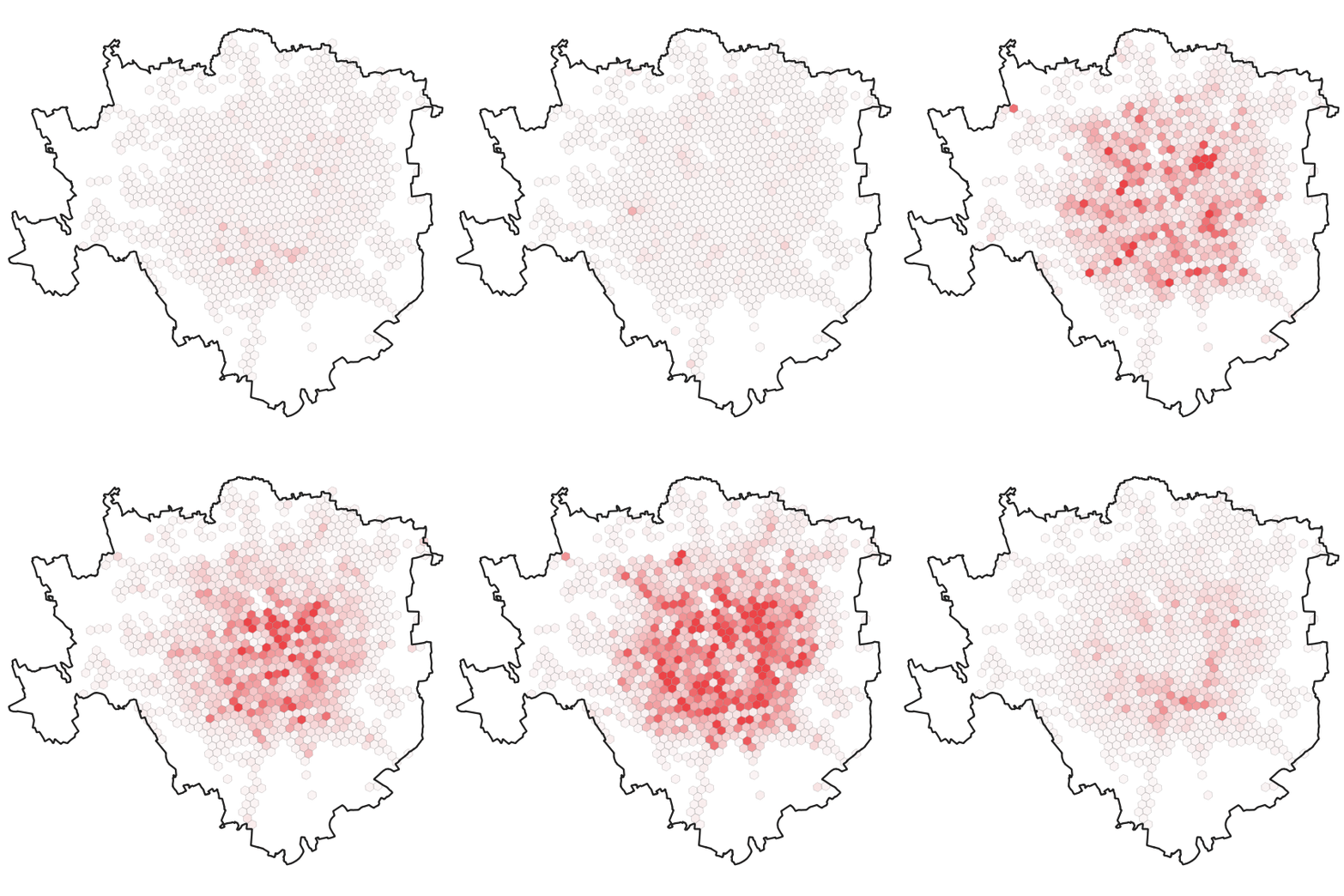
Sharing mobility, carsharing in particular, requires a thorough analytical approach to be fully understood and planned. The aim of this article is to provide an extensive analysis of the relation ...
During the last years, sharing mobility is one of the emerging transport modes, but seldom its planning is entrusted to private operators and not seen as a major vector of ...
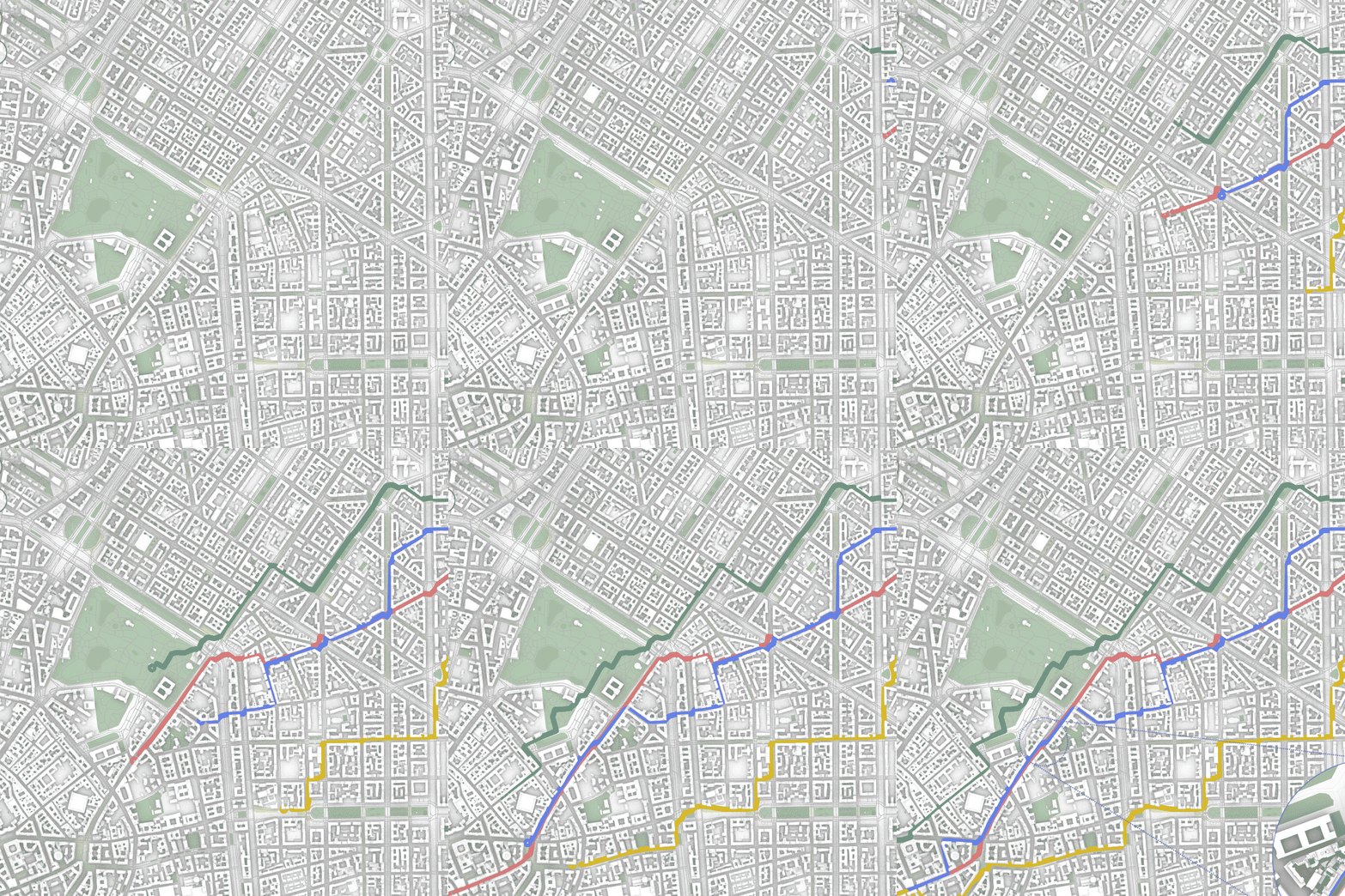
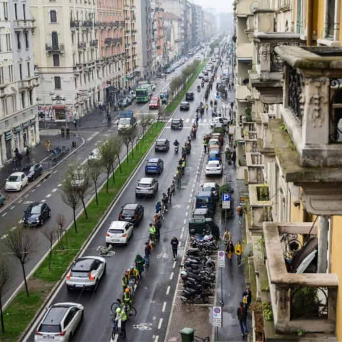
Milan aims to make cycling a more prominent form of transportation. This investigation was undertaken to better understand the state of cycling in Milan, analyzing the current and planned cycling ...
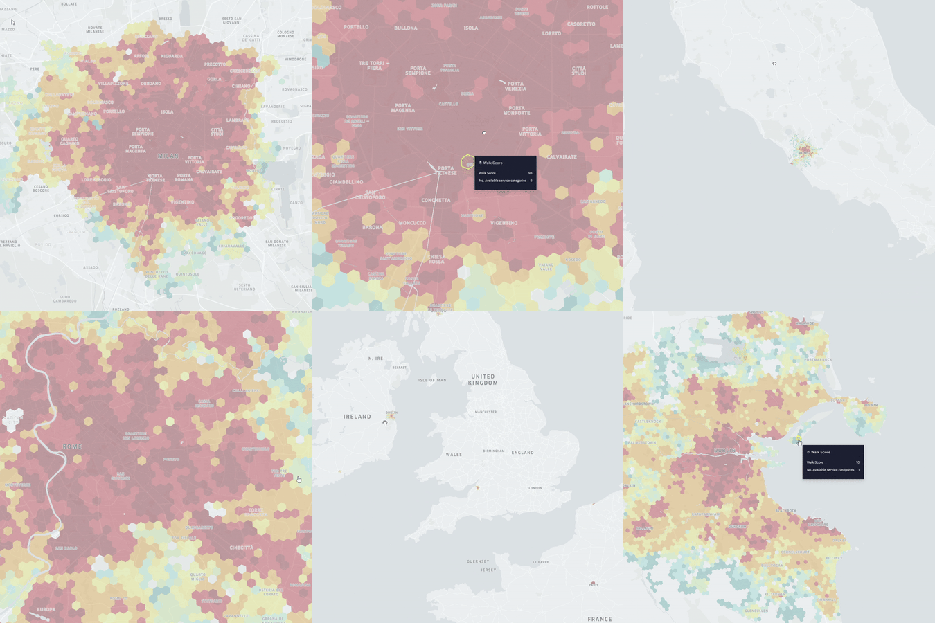
The Walk Score is an urban metric that gives a comprehensive overview of a city’s walkability and is widely used to assess the accessibility of cities, neighborhoods and specific places ...
The scientific research project “STEP UP – Walkability for Women in Milan” (Grant No. 2022-1643), submitted under the call for proposals “INEQUALITIES RESEARCH – Generating new knowledge to reduce inequalities” ...
Rome aims to increase cycling levels and its cycling infrastructure. The Grande Raccordo Anulare delle Bici (GRAB) is a planned 48.300 km cycle route. This investigation used a multicriteria analysis ...
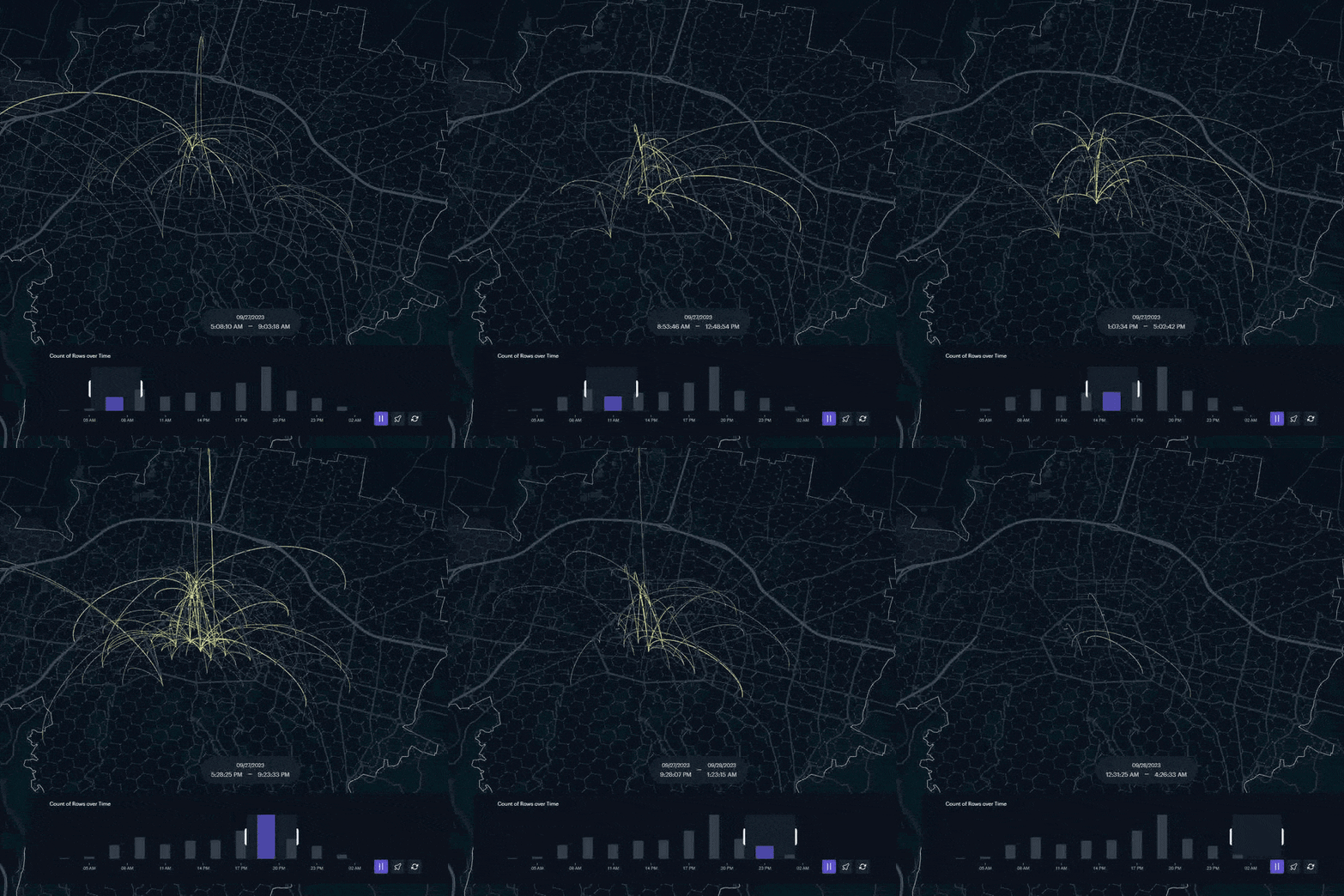
The research investigated citizens’ travel data in Bologna using the GPS data collected through the Pollicino project. The proposed analysis uncovered soft modes as predominant and concentrated in central zones. ...
Pedestrian thermal comfort is a quantitative and qualitative measure of how comfortable the average pedestrian is when walking, sitting, or standing in an outdoors environment. Factors that influence outdoor thermal ...
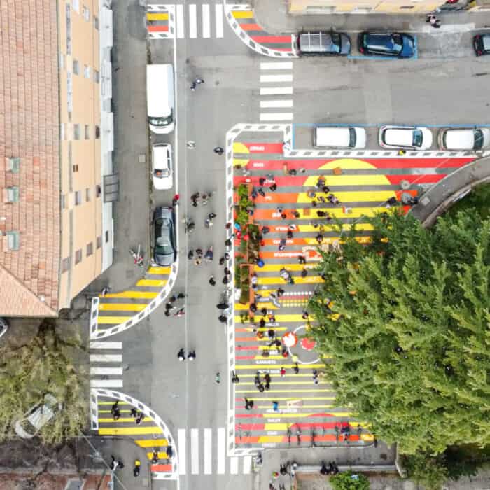
This work aimed at evaluating how a temporary school square, implemented in March 2022 in the city of Bologna under the principles of the tactical urbanism approach, impacted on vehicular ...
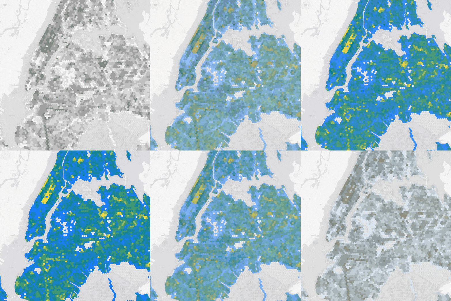
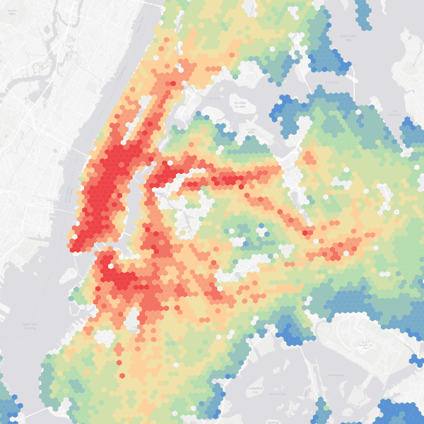
This research is the first part of a study focusing on New York City’s urban forest infrastructure. In particular, this study examines the city’s street trees and parkland inventory as ...
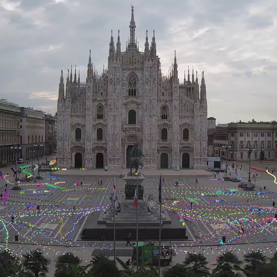
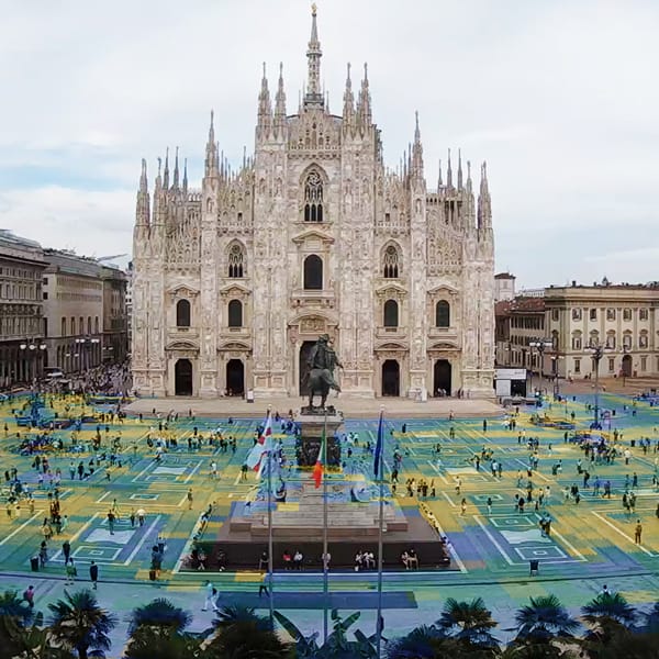
Thanks to the recent developments in ICT tools for collecting traffic data in the urban environment, there is an ever-growing availability of videos capturing the nerve centers of cities (e.g., ...
Affordable housing is an integral aspect that determines the level of equity, for it to function sustainably, it is important to ensure that these units are placed in high-opportunity neighborhoods, ...
In March 2022, Fondazione Innovazione Urbana and the Municipality of Bologna built a new public space for children in Via Procaccini (Bologna) near a middle school (see Figure 1), using ...
Since the introduction of the Social Logic of Space (Hillier and Hanson, 1984) and the further developments of Space Syntax theories during the following decades (Hillier et al., 1996; Hillier, ...
