Transform Transport is a non-profit research foundation focused on innovation in mobility and transport planning
Social Involvement
We are a non-profit organization established to improve the quality of our cities and people’s lives. We are committed to exclusively focus on research initiatives that can have a positive impact on our society and environment.
Worldwide Commitment
We acknowledge the complexity and diversity of mobility challenges in different environments. Our team has extensive experience in a wide array of different social, geographical and climate contexts around the globe.
Collaborative Approach
We tackle complex challenges through an experimental approach, including multidisciplinary expertise within the process. We collaborate with Universities, research centers, innovation hubs, and technology providers.
-
This study, carried out by Transform Transport in collaboration with the European Commission – Joint Research Centre (JRC) and IT:U ...
-
Research, Urban Mobility Metrics
GOLIA: Governing, Optimising and Leveraging Innovations proActively for shaping future proof holistic mobility system through data-driven and social optimum-led model
The GOLIA project , which kicked off in June 2025, is a three-year Research and Innovation Actions (RIA) Horizon Europe project, ... -
Research, Urban Mobility Metrics
Sustainable Urban Mobility Metrics in the Metropolitan City of Rome
This article presents a research project conducted by Transform Transport in collaboration with Laboratorio Roma050, focusing on sustainable mobility metrics ... -
Tracce: ICTs in Support of Monza’s PEBA – Plan for Eliminating Architectural Barriers
The “Tracce” project explores the theme of accessibility for people with reduced mobility in the city of Monza through an ... -
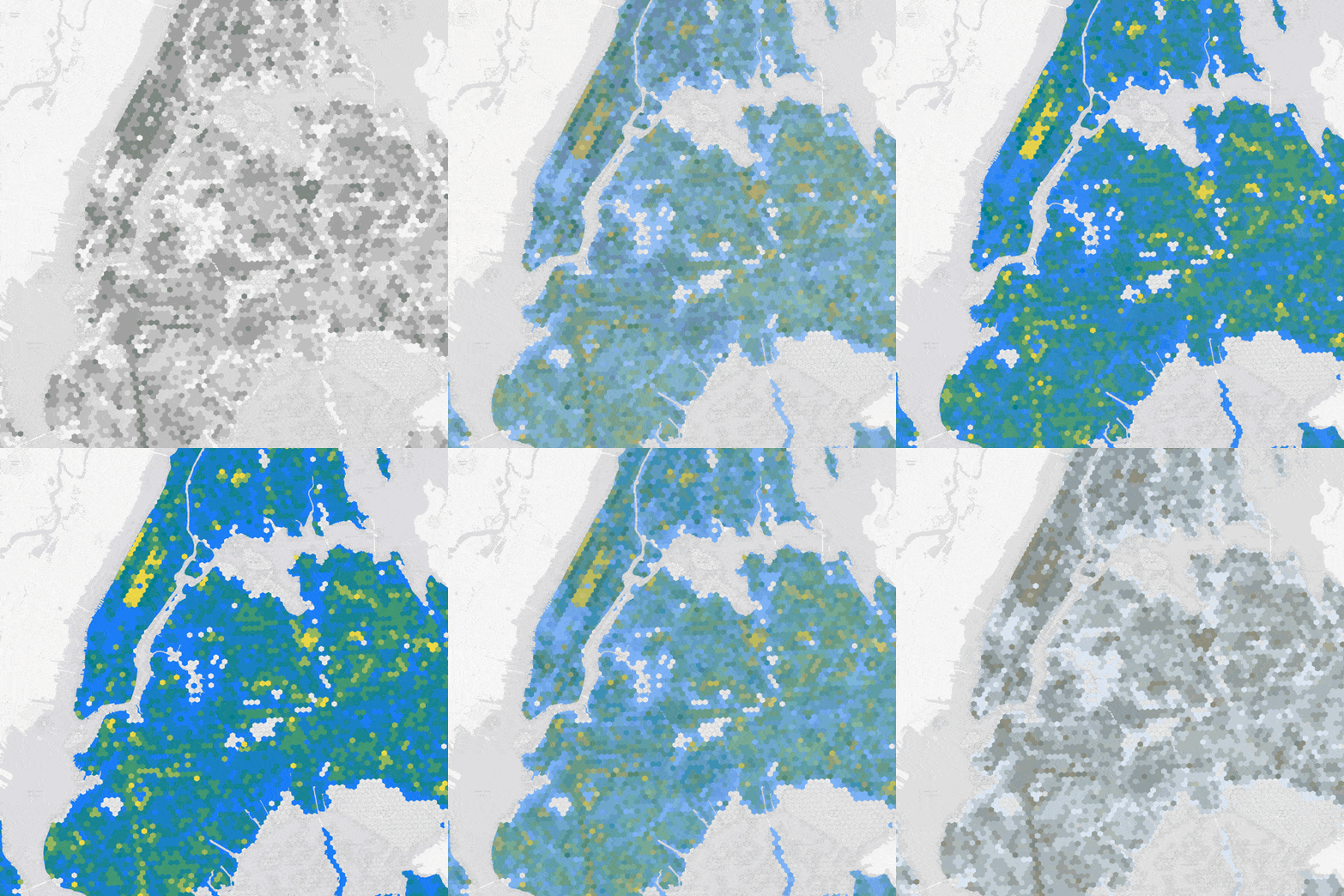
Accessibility and Equity of Urban Green Spaces in New York City
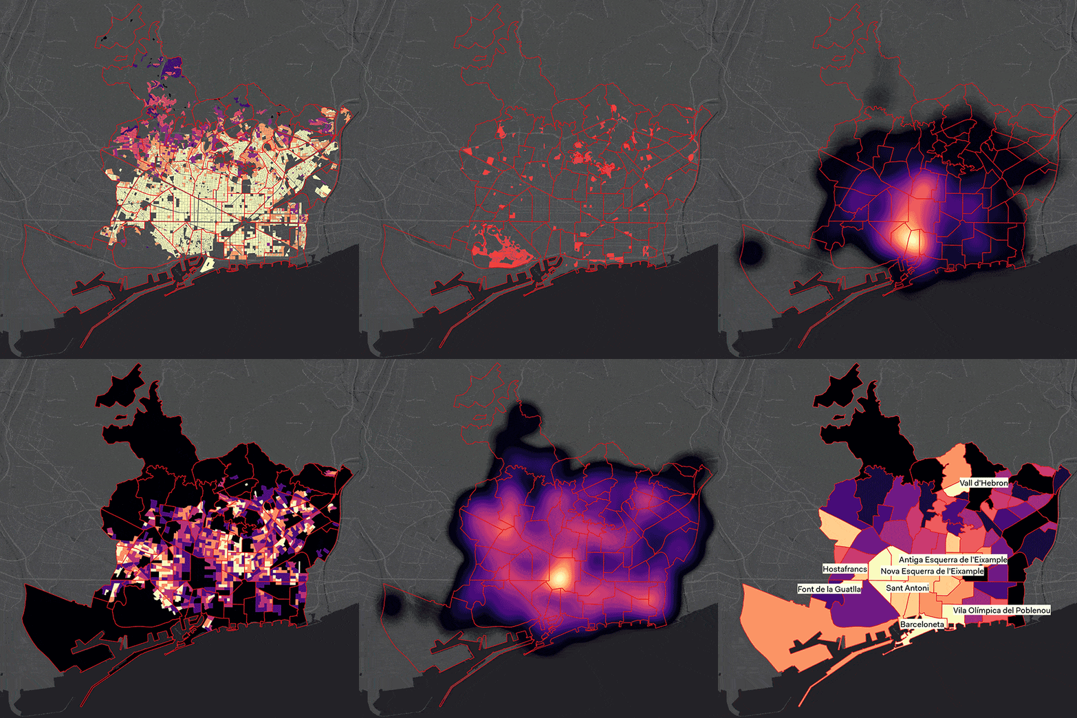
This study examines the pedestrian accessibility of urban green spaces (UGS) in New York City, focusing on disparities across different ... -
UX Mobility: Multi-User Walkability Route Planner
Recognizing the diversity of urban characteristics, street design, possible routes and user types, the research focuses on assessing the level ... -
Research, Urban Mobility Metrics
Travel Times across the U.S. – An Exploration of the Variability of Mobility Patterns
This research focuses on travel time, commuting patterns and socio demographic factors, by leveraging the US Census LODES data. The ... -
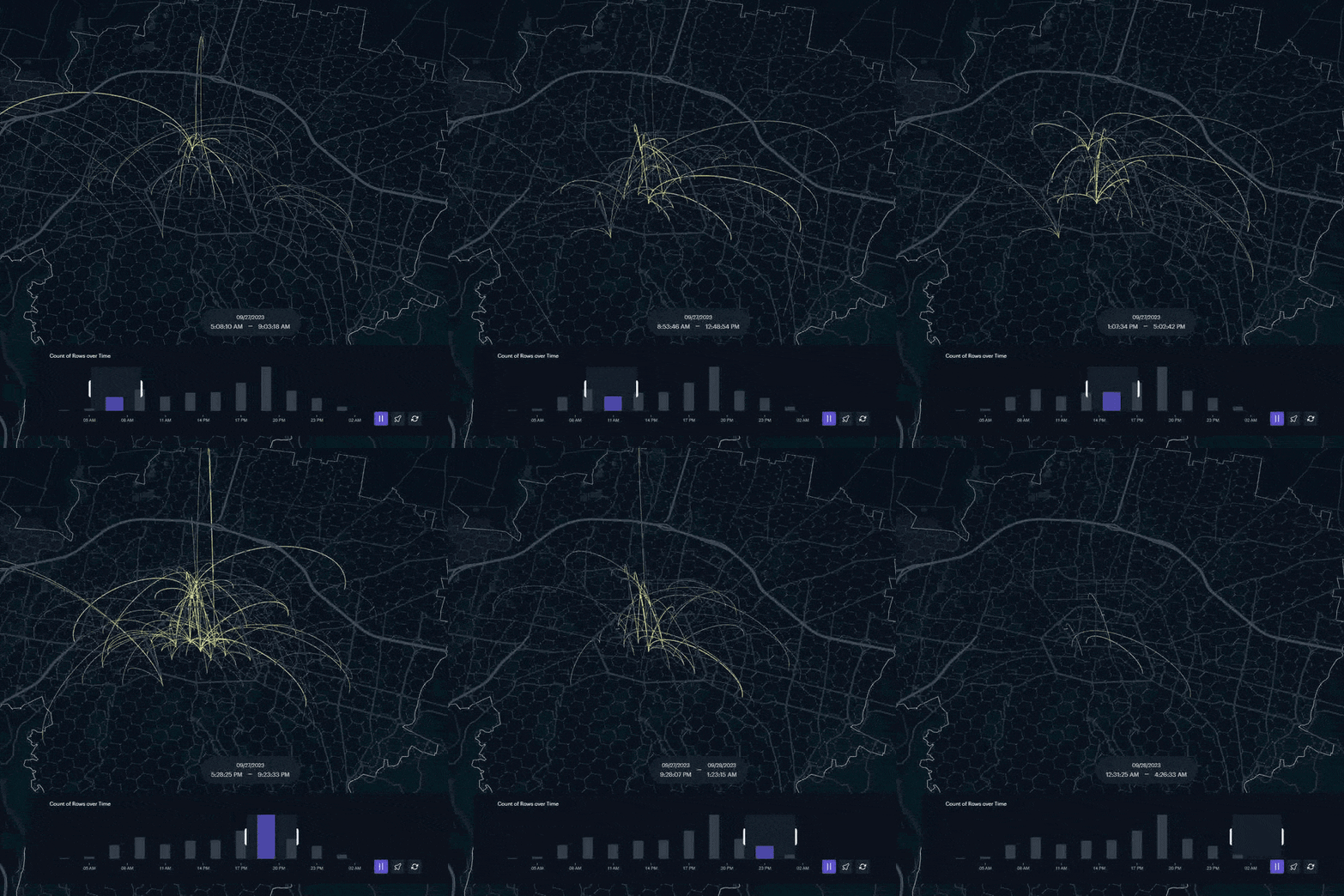
Into the Night: Exploring the 24-hour Rhythms of the 15-Minute City
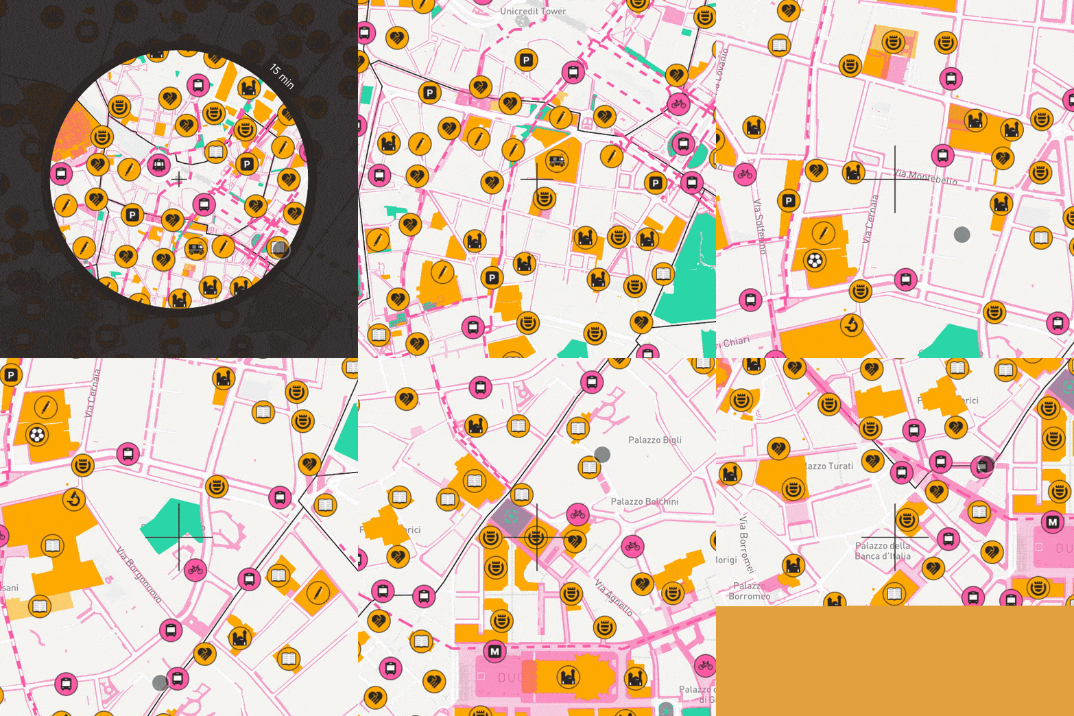
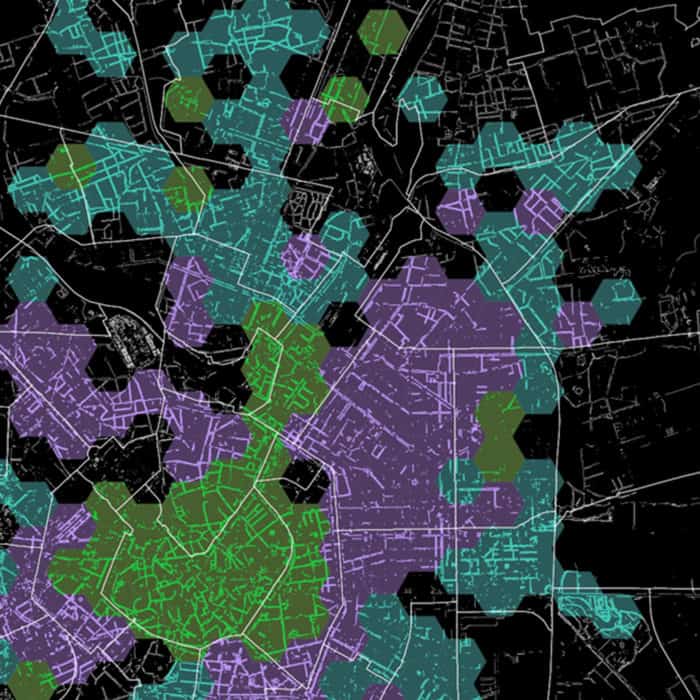
This research examines the underexplored needs of nighttime communities in accessing urban amenities by foot. Using GIS-based spatiotemporal analysis, a ... -
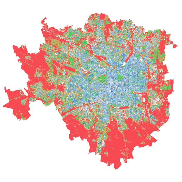
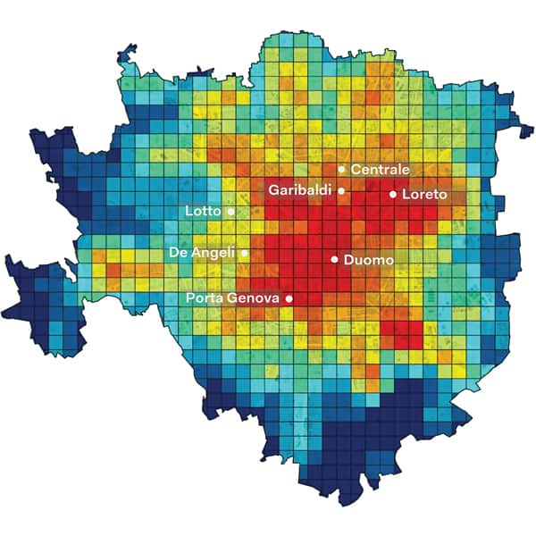
Transport Poverty: Accessibility to Public Transport and Social Vulnerability in Milan
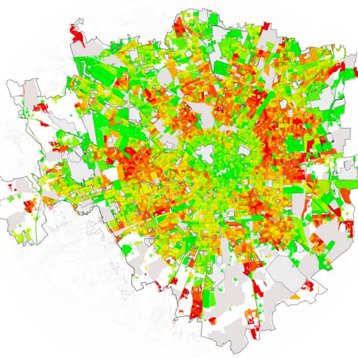
This article investigates the phenomenon of transport poverty in the City of Milan (Italy), utilizing a comprehensive analysis of socio-demographic ... -
Research, Urban Mobility Metrics
Free-Flow Carsharing Systems Part 3 – Toward a Vehicle Allocation Model
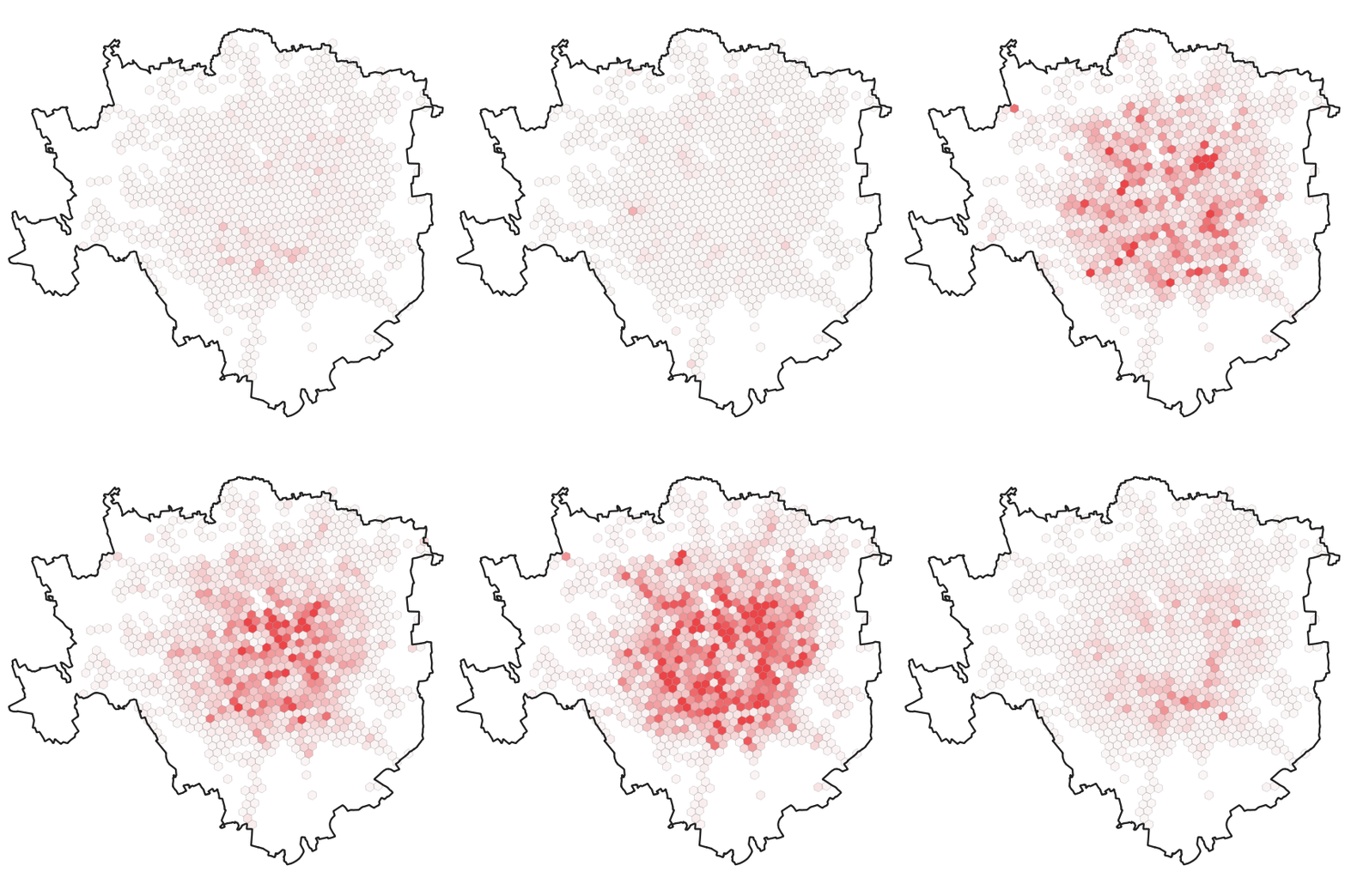
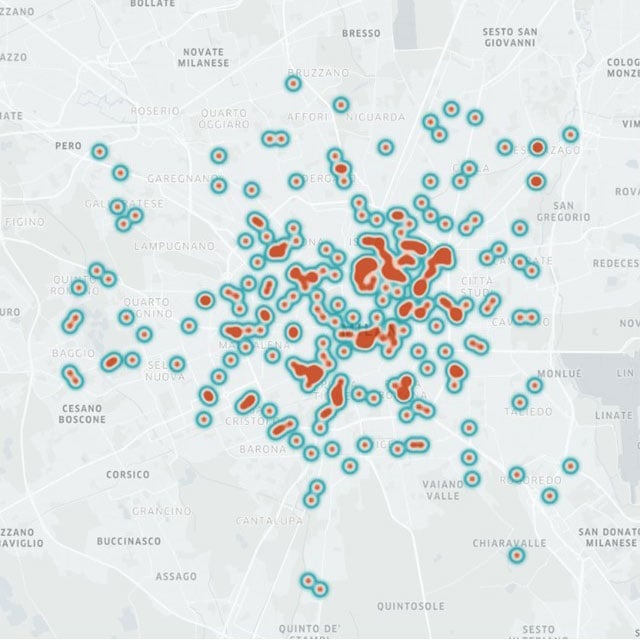
This article examines the demand patterns of Zity, a free-floating electric car-sharing company operating in Milan and identifies temporal and ... -
Bologna Città 30: Understanding the Influence of the Policy on Travel Times and Speeds Through TomTom Datasets
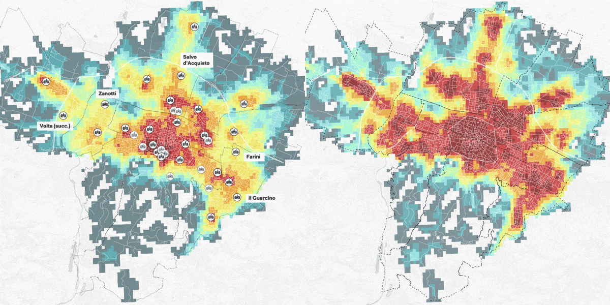
In January 2024, Bologna implemented the “Città 30” policy, lowering urban speed limits to 30 km/h to improve safety and ... -
Urban Tree Cover and Canopy Height: Deep Learning Models Assessment
Urban green spaces provide essential ecosystem services that benefit community health. Analyzing tree coverage in urban areas at a detailed ... -
The Right to Cycle Part 2 – The Role of Cycling Infrastructure
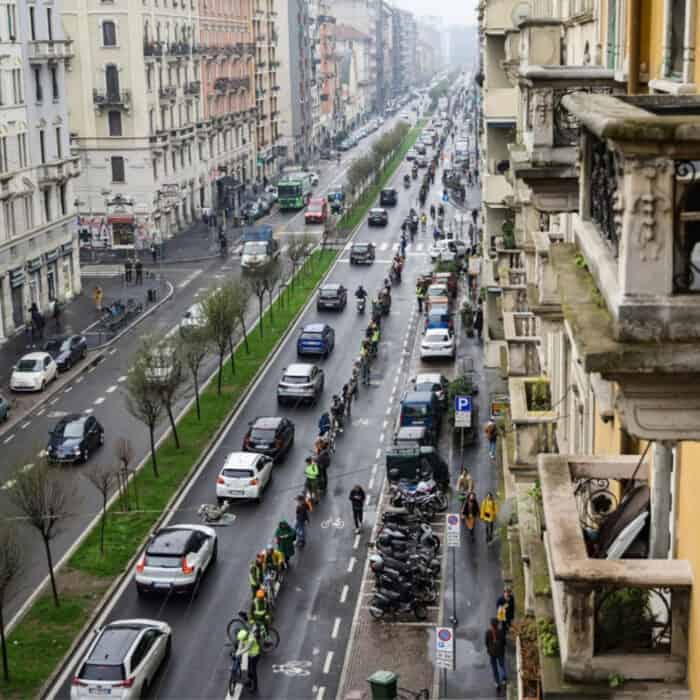
Milan is working towards promoting cycling as a major mode of transportation. This article is the second part of a comprehensive ... -
Research, Urban Mobility Metrics
Free-Flow Carsharing Systems Part 2 – A Spatio-Temporal Approach
Sharing mobility, carsharing in particular, requires a thorough analytical approach to be fully understood and planned. The aim of this ... -
Free-flow Carsharing Systems Part 1 – A General Overview
During the last years, sharing mobility is one of the emerging transport modes, but seldom its planning is entrusted to ... -
The Right to Cycle Part 1 – Investigating Cycle Safety in Milan
Milan aims to make cycling a more prominent form of transportation. This investigation was undertaken to better understand the state ... -
15min City Score Toolkit – Urban Walkability Analytics
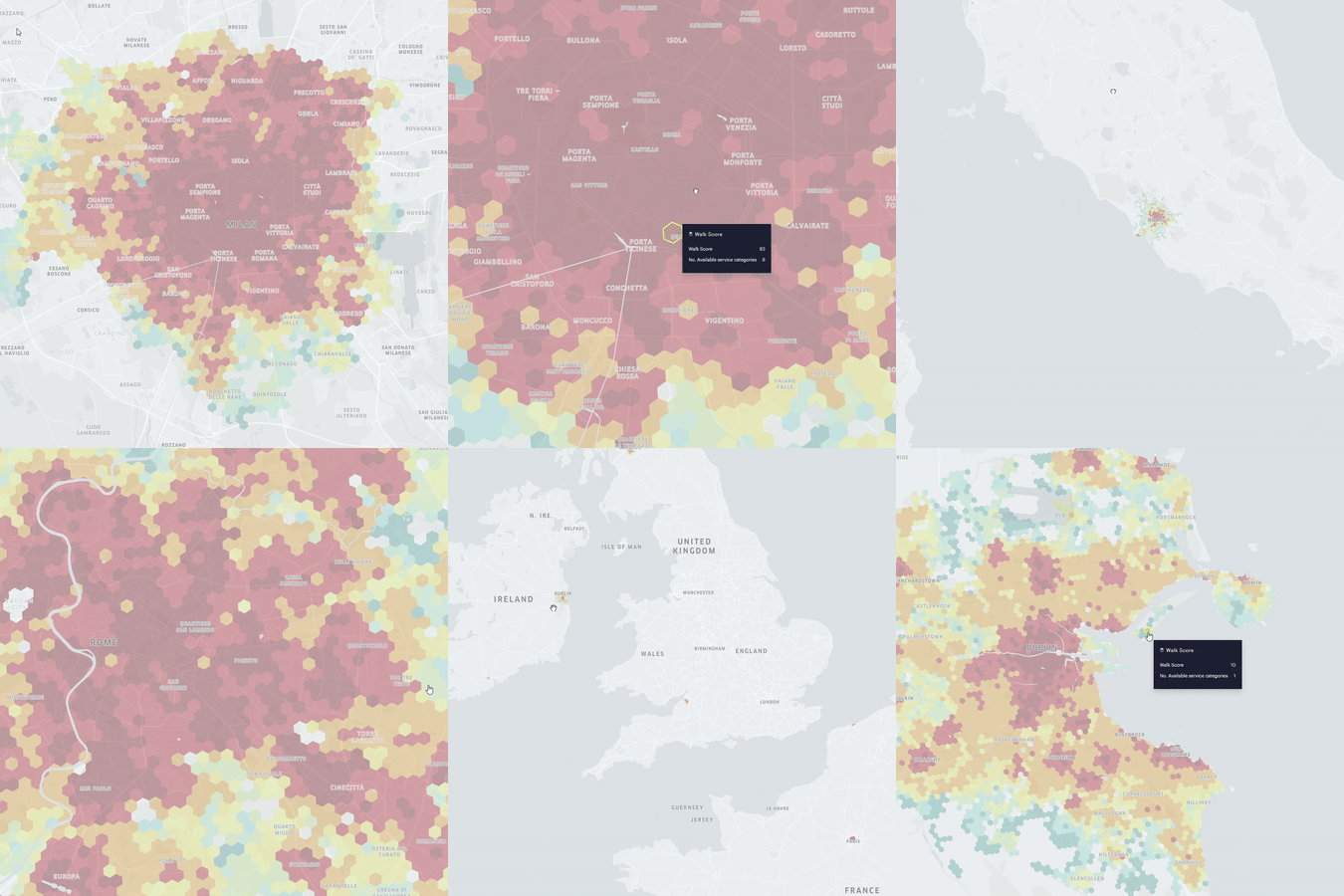
The 15min City Score is an urban metric that gives a comprehensive overview of a city’s walkability and can be ... -
STEP UP – Walkability for Women in Milan
The scientific research project “STEP UP – Walkability for Women in Milan” (Grant No. 2022-1643), submitted under the call for ... -
The Grande Raccordo Anulare delle Bici (GRAB): Prioritizing the Implementation Through a Multicriteria Analysis
Rome aims to increase cycling levels and its cycling infrastructure. The Grande Raccordo Anulare delle Bici (GRAB) is a planned ... -
Spatial Analysis of Citizens’ Travel Data: The Pollicino Project
The research investigated citizens’ travel data in Bologna using the GPS data collected through the Pollicino project. The proposed analysis ... -
Multi-Disciplinary Perspectives on Pedestrian Thermal Comfort and Walkability
Pedestrian thermal comfort is a quantitative and qualitative measure of how comfortable the average pedestrian is when walking, sitting, or ... -
TomTom Data Applications for the Assessment of Tactical Urbanism Interventions: The Case of Bologna
This work aimed at evaluating how a temporary school square, implemented in March 2022 in the city of Bologna under ... -
NYC Urban Air Quality Assessment: Urban Forest Analysis
This research is the first part of a study focusing on New York City’s urban forest infrastructure. In particular, this ... -
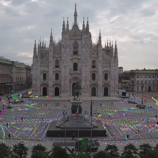
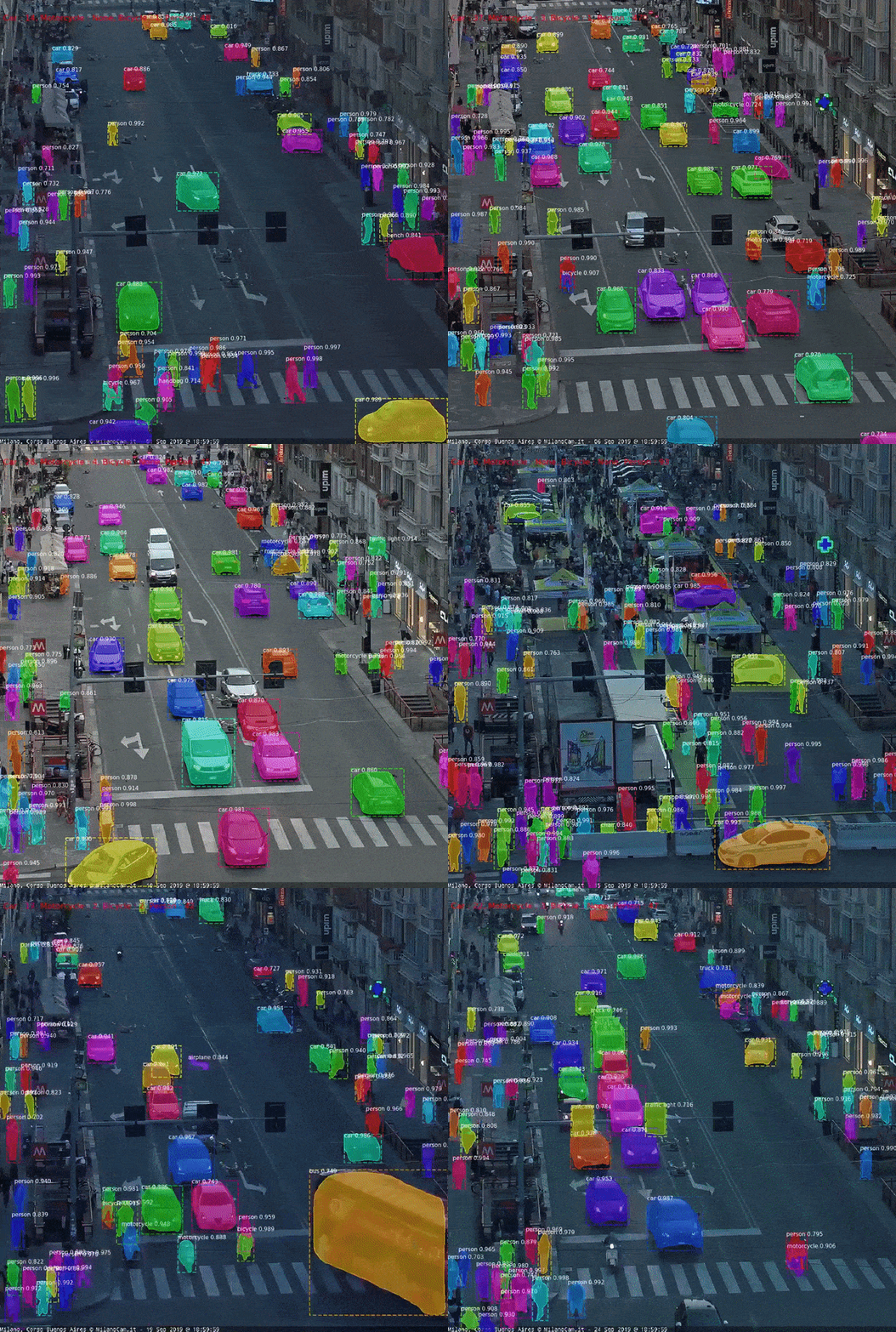
Video Analytics for Understanding Pedestrian Mobility Patterns in Public Spaces: The Case of Milan
Thanks to the recent developments in ICT tools for collecting traffic data in the urban environment, there is an ever-growing ... -
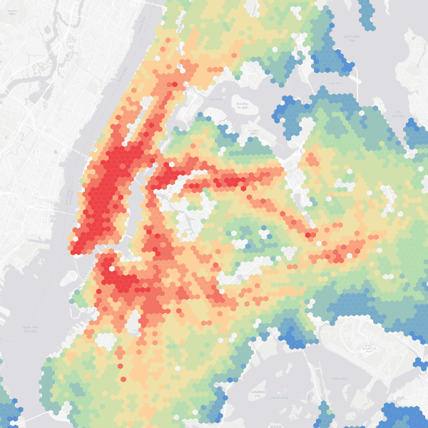
Measuring the Fairness of Transit Accessibility: The Case of Affordable Housing in New York City
Affordable housing is an integral aspect that determines the level of equity, for it to function sustainably, it is important ... -
Video Analytics for the Assessment of Street Experiments: The Case of Bologna
In March 2022, Fondazione Innovazione Urbana and the Municipality of Bologna built a new public space for children in Via ... -
Deep Learning Video Analytics to Assess VGA Measures in Public Spaces
Since the introduction of the Social Logic of Space (Hillier and Hanson, 1984) and the further developments of Space Syntax ... -
Analysing ‘Twitter Conversation’ of London Tube Stations: The Case of the Covid-19 Pandemic
Covid-19 pandemic has deeply affected urban mobility: the social-distancing strategies adopted to cope with the virus transmission pushed the majority ... -
Nature-based Solutions to Mitigate Vehicular Traffic Pollution Beyond SUMPs
The research was aimed at defining an innovative nature-based approach to effectively tackle vehicle emissions by considering the role of ... -
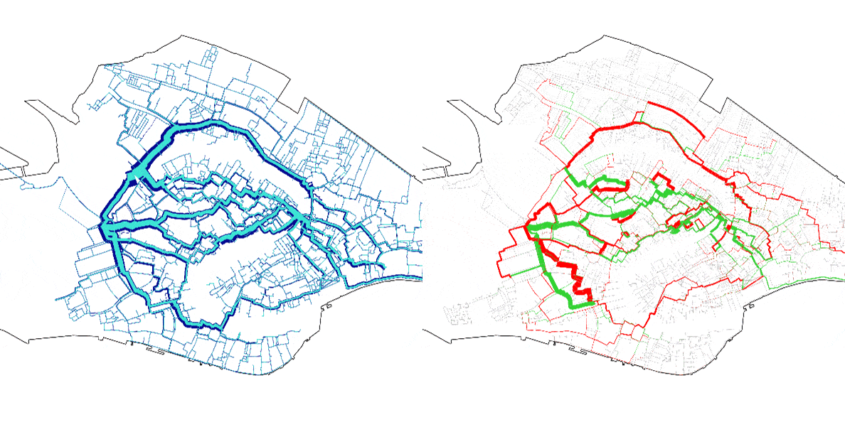
How Covid-19 is Affecting Pedestrian Modeling and Simulation: The Case of Venice
The relevance of computer-based pedestrian crowd simulations has become crucial in transport planning considering the unprecedented effects of the Covid-19 ... -
Looking with Machine Eyes: Understanding Patterns in Urban Spaces
The development of new technologies is shaping the growth of cities in many ways. Among these, the Internet of Things ... -
Walkability and the 15-minute City Model: An Integrated Approach for the City of Milan
The 15-minute city idea is founded on a radical approach to urban planning that revaluates the neighbourhood scale and prioritizes ... -
Assessing the Level of Walkability for Women Using GIS and Location-Based Open Data: The Case of New York City
Utilizing GIS and location-based open data, this study examined the level of walkability for women in New York City. As ... -
Sensors Data for Unlocking Hidden City Metrics
The recent developments of ICT tools for collecting traffic data in the urban environment have allowed a tremendous increase in ... -
Stories: a platform built for place–based storytelling
Almost 70 years after Jane Jacobs’ arguments for smaller, mixed-use, connected neighbourhoods were published, the world is beginning to fully ... -
Walkability for Children in Bologna: GIS and Space Syntax Applications
Abstract The research is based on an extended spatial analysis executed through the application of GIS and Space Syntax, aiming ... -
Covid-19 pandemic and activity patterns in Milan. Wi-Fi sensors and location-based data
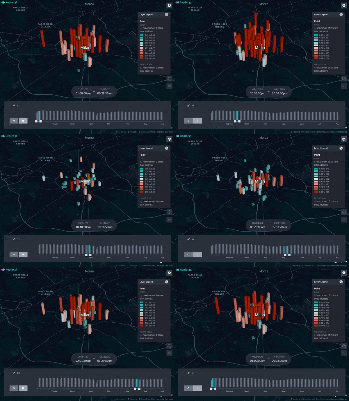
Within the research activities of Transform Transport on the impact of the Covid-19 pandemic on urban mobility (see the recently ... -
Proximity services for children: the case of Bologna
On May 13th, 2021 Systematica joined a roundtable discussion at the 6th Biennale dello Spazio Pubblico – BISP 2021, the ... -
E-scooter accidents and the urban environment: the case of Milan
Abstract The spread of e-scooters in urban regions as a form of shared micro-mobility or last-mile mobility has been impressive ... -
How Big Data is Transforming the Way We Plan Our Cities
This article was originally published by Fondazione Eni Enrico Mattei (FEEM), Editor: Prof. Stefano Pareglio, Firms and Cities Transition towards ... -
Space syntax as a foundation for a transport development strategy
A professional case study in Torrance, California Introduction In 2016, we were appointed to study mobility dynamics in the city ... -
Monitoring (Big) traffic data through Wi-Fi sensors: the evolution of the lockdown phases in Milan
The development of ICT solutions for monitoring (Big) traffic data in real time enables transport planners and decision makers to ... -
Looking with machine eyes: how deep learning helps us read our cities
The development of new technologies is shaping the growth of cities in many ways. Among these, the Internet of Things ... -
WALKABILITY FOR WOMEN: GIS AND APP-BASED TOOLS
Security for women while walking Advanced urban transport planning activities are shifting towards a focus on pedestrian mobility and walkability ... -
Living local: Mapping Milan micro-centers
Proximity, density and diversity: Local centers to support living at neighborhood-scale The Covid-19 pandemic has dramatically influenced the way we ... -
How Covid-19 is affecting pedestrian modelling
Sustainable mobility and walkability The rising demand for transport services and infrastructure linked to urbanization (United Nations, 2014) requires an ... -
DIAMOND
The rising demand of public transport services and infrastructure requires the design of effective and sustainable mobility strategies to improve ... -
-
Milan Streets Retrofitting Strategy
This article is based on the results of the study Milan sidewalks, in which the width of all the sidewalks ... -
-
